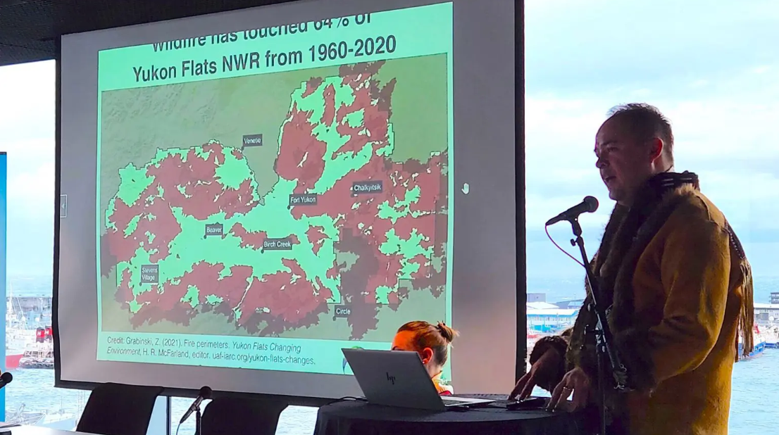
Trying to put a wider spotlight on the global impacts of melting permafrost in the Arctic, Canada’s Dustin Whalen and Norway’s Tina Schoolmeester launched a new 174-page print and online Arctic Permafrost Map as an exhibit at the 10th Arctic Circle Assembly in Reykjavik, Iceland.
“It’s the first atlas of its kind,” said Whalen, a scientist at Natural Resources Canada in Dartmouth, N.S., who helped to facilitate partnership with the Beaufort Delta Indigenous leaders. It’s an international effort led by Germany’s Alfred Wegener Institute for Polar and Marine Research’s Nunataryuk, which maps underground and exposed permafrost including Antarctica, Russia, Alaska, and NWT Inuvialuit and Gwich’in communities of Tuktoyaktuk, Paulatuk, and Aklavik.
Read more: aptnnews.ca
Photo: aptnnews.ca


Leave a Reply